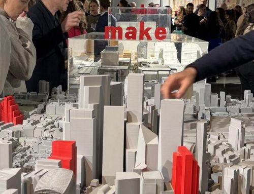
Plan.City London has received much more than a quick update this summer. With the release of Unreal Engine 5 a couple of years ago, we’ve been working on taking advantage of the new technologies available through the newest version of the engine, as well as continuing to revamp and expand the data layers and tools that we offer. Today, we are happy to present the first version of our application built entirely in Unreal Engine 5 — a leap forward that lets us display the entire city at a unified level of detail.
We’ve put the awesome Nanite and World Partition technologies to good use in order to make it possible to explore London without compromises – all of our high detail geometry, all at once. On top of being able to seamlessly render millions of polygons, we are also taking advantage of the new rendering features introduced by the engine. Say “hi” to hardware ray-traced Lumen, something that allows us to bring ray traced shadows and reflections across the entire city.
New Capabilities in Plan.City 2.0
New tools in Plan.City 2.0 focus on meeting and assessing building regulations. Our protected views data layer has been fully revamped to include all viewpoints from the London View Management Framework. For every viewing point, commissioned real-world images can be overlaid with the virtual environment — helping you see, in real time, how your design impacts London’s skyline.
To better work with those new views, we’ve also reworked both the builder and the importer tool. You can now create more complex shapes with ease, and import a wider range of file formats and materials, making the process smoother and faster than ever.
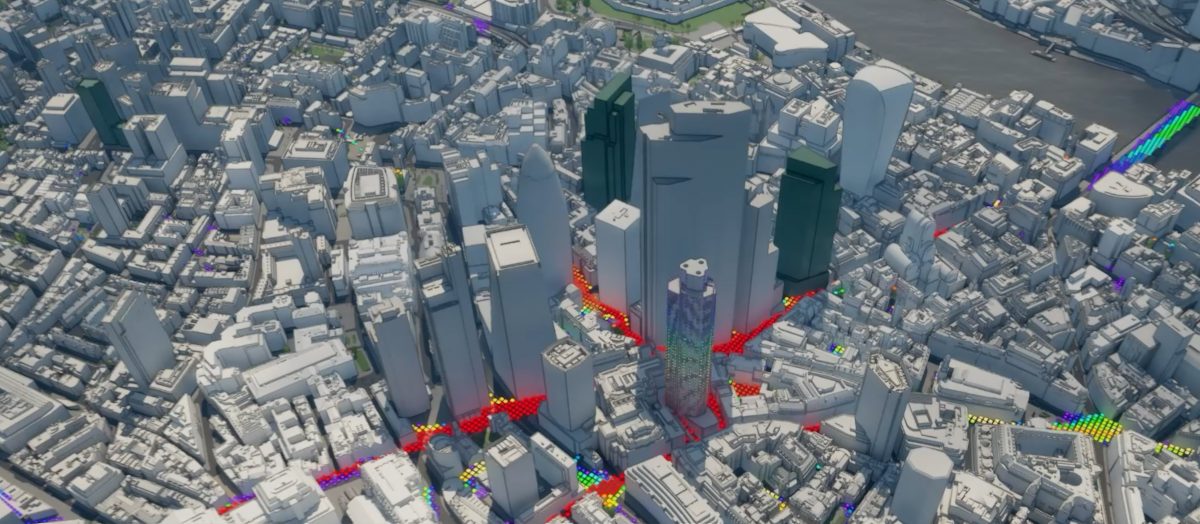
We’ve also added two powerful new analysis tools: the Zone of Theoretical Visibility, so you can understand where your building can be seen from, and the Viewshed tool, to visualise exactly what’s visible from any chosen location. The ZTV can help you understand how much of your building can be seen from any point around it, and we’ve split the results by bands to better visualise the results. The Viewshed can be used to both assess what can be seen from a given vantage point, and even compare what multiple emitters can see. We can’t wait for you to test these new systems out and see how they can help you in your work!
With that said, we are just getting started. More data layers and tools are on the way, all of them created with the hopes that they will help your workflows. Please get in touch with your suggestions and requests, something tremendously helpful when defining the future roadmap.
Join us for a Plan.City Webinar!
If you would like to learn more about the capabilities of Plan.City 2.0, feel free to attend one of our free webinars and see whether we can support your projects.