AccuCities 3D Cities Case Studies
Trusted by over 320 customers
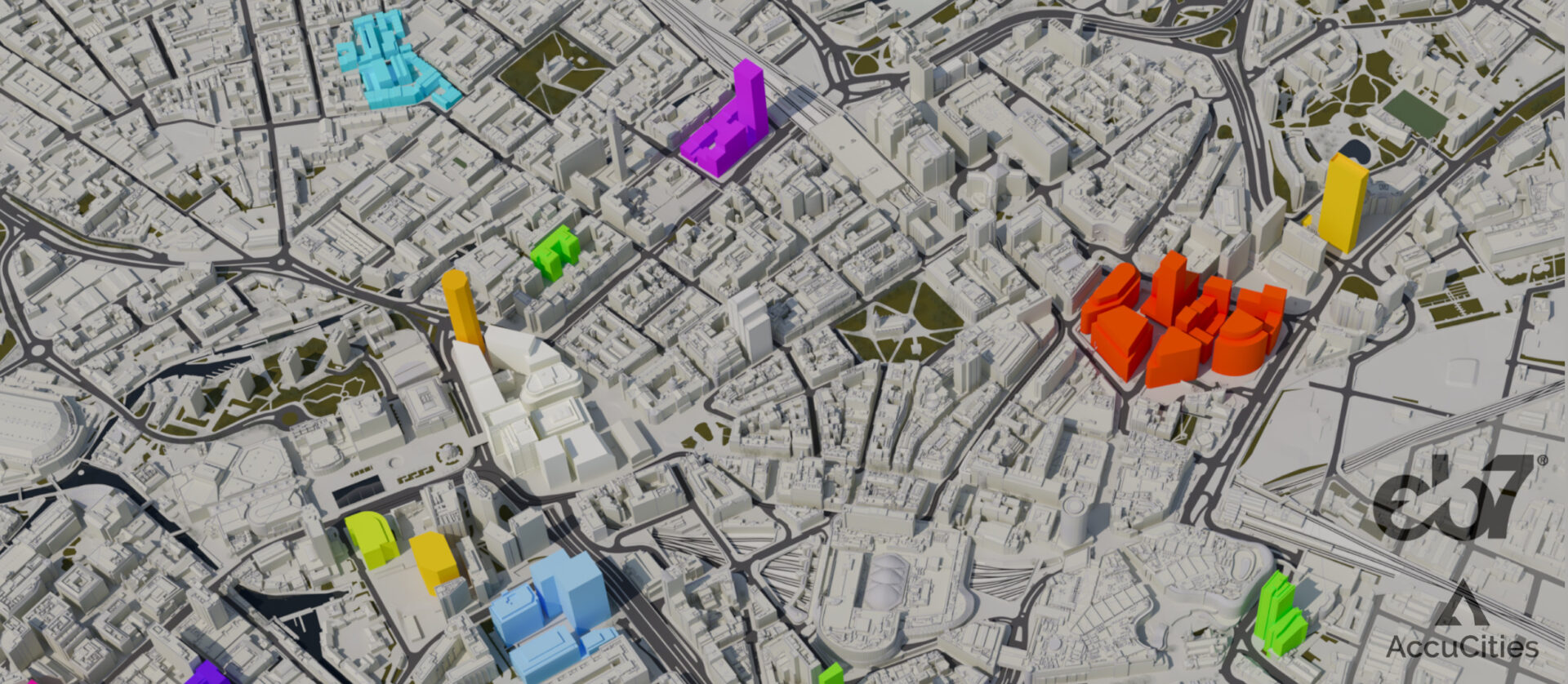
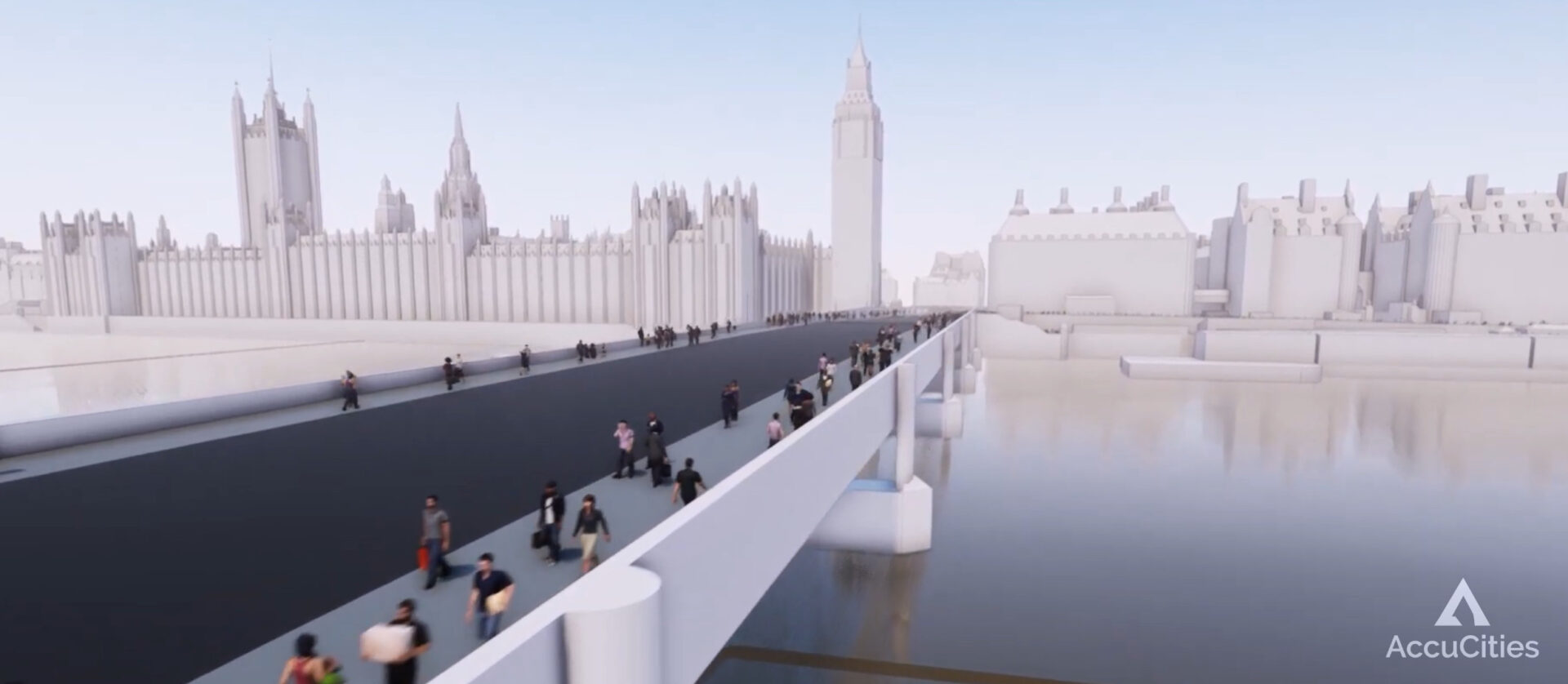
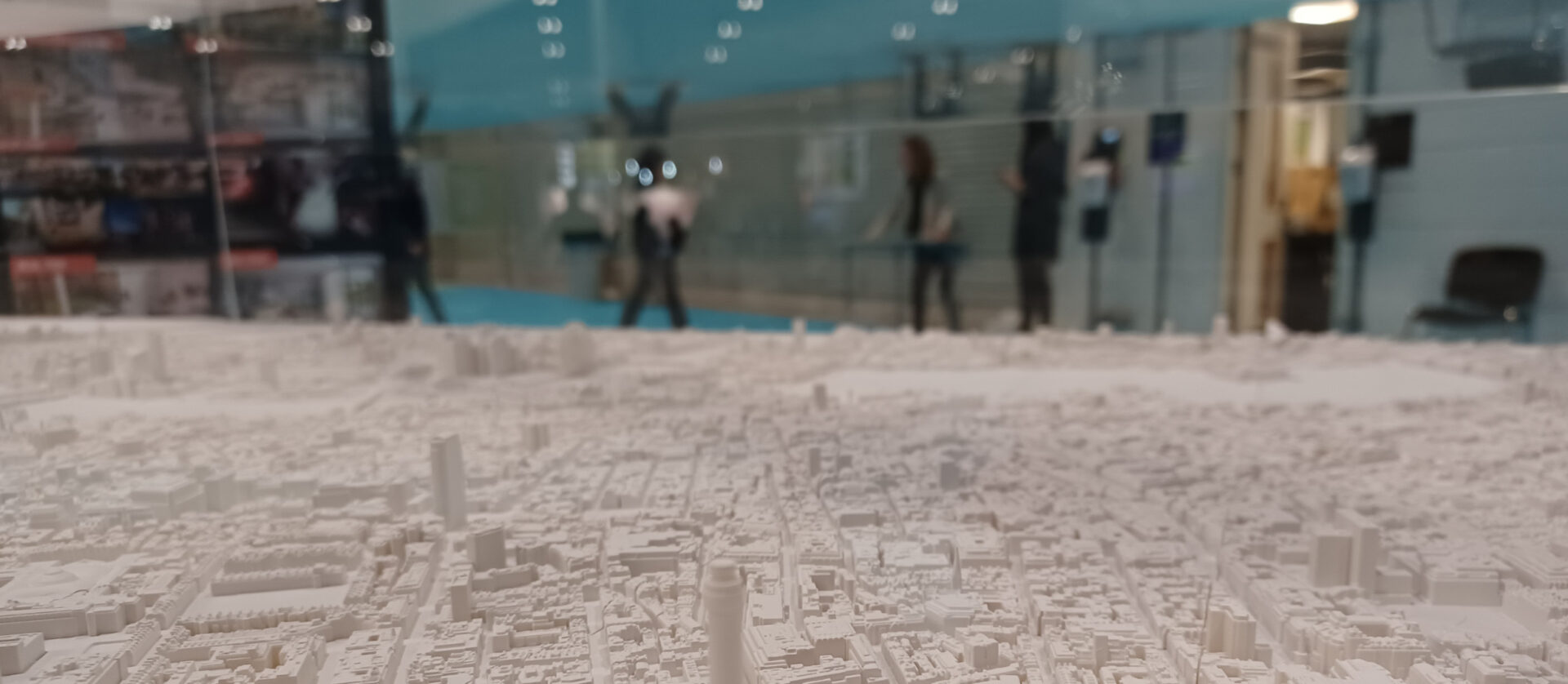
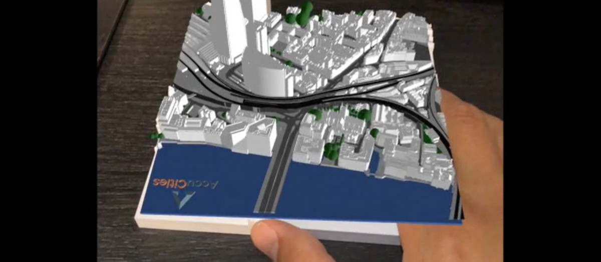
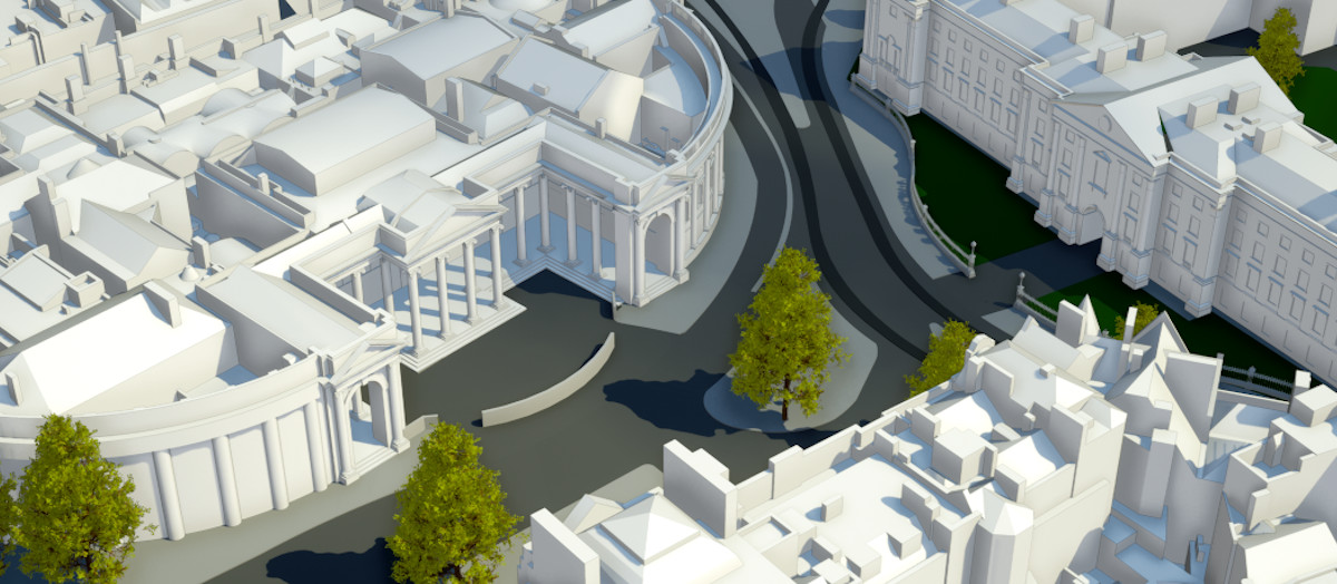
These 3D Cities Case Studies are the very latest examples from over 8 years of servicing UK 3D city models market. AccuCities have worked on over 5,100 small and medium-size 3D context models for sites all over the United Kingdom. We have also mapped over 70 square kilometers of widely used High detail 3D London model. But the real interesting stuff is done by our customers. Here are some of the ways our 3D city models are used.


Buy Custom 3D Models for Planning
Use our Quoting Tool for Instant Cost & Delivery Times estimates
Using our Quoting Tool is usually the quickest way to send us your requirements for a quote; the system now also displays Project Cost & Delivery time estimates* for your context 3D model. Simply find your site on a map and choose from one of the set-area boxes or draw an exact site boundary shape. If your site is already covered by our existing 3D city models library, the Quoting Tool will also display a clickable box grid of all available 500 x 500 meters tiles**. Enter your details and send us your quote request. We aim to come back to you within a few hours with a binding quote and payment options.
If you prefer, you can email us your site mark-up, map mark-up, 2D map or any other info about your site. Feel free to call our Call our Customer Support or Contact Us individually.
* The Quoting system displays conservative estimates of the Project Cost & Delivery timescales. We offer further discounts for sites over 1 square kilometer and for customers requiring our services on on number of 3D mapping projects. Please contact us to discuss.
** Tiled city models are priced per Tile with the 1-day delivery.
Examples of Use: 3D Models in Planning
From House Extensions to Urban Masterplans.
Examples of how our customers use AccuCities 3D Models for Planning. Daylight, Sunlight & Overshadowing Studies, Pedestrian Wind Comfort Study, Initial Masterplan Public Consultation Boards and even in public engagements using 3D Models instead of 2D maps.
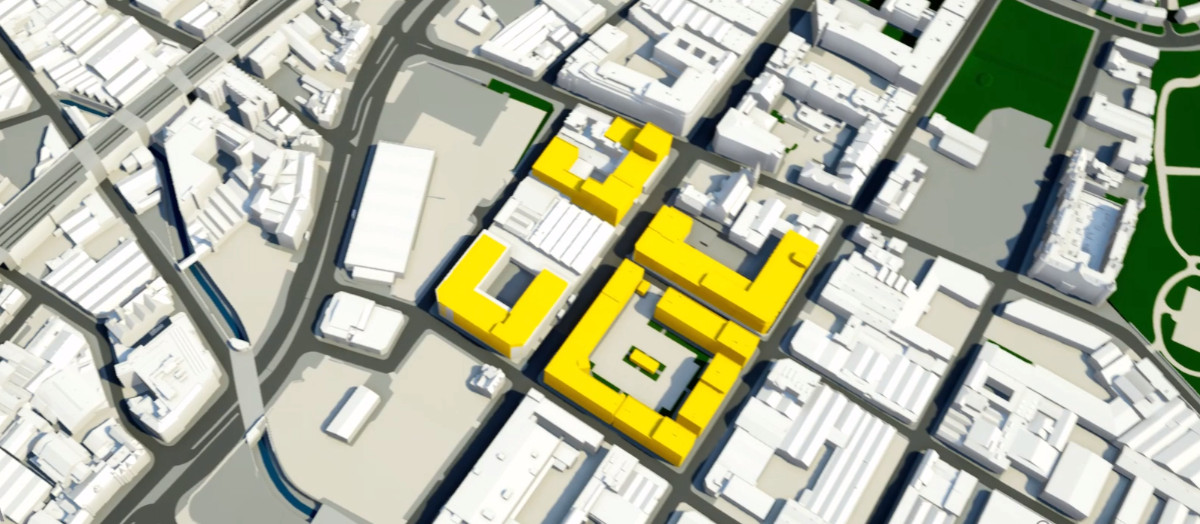
Existing/Proposed Overshadowing Study
The potential overshadowing impacts to amenity areas and open space around the Site following the introduction of the Proposed Development.

Daylight, Sunlight & Overshadowing Study
Assessment of the potential effects of the proposed development within the courtyard of a house on daylight, sunlight and overshadowing to neighbouring residential properties.

Daylight & Sunlight Report for Planning
A comprehensive study of the impact of the proposed development on the relevant rooms in all of the surrounding dwellings, undertaken in accordance with the BRE Report 209.

Planning Transient Overshadowing Study
The potential impact of the Proposed Development on daylight and sunlight availability to nearby residential receptors, as well as future residential occupiers.

Internal Daylight and Sunlight Report
Internal daylight and sunlight analysis for a proposed development. The analysis was based upon scheme drawings by an architect and AccuCities 3D site model.

Planning Daylight and Sunlight Report
Avison Young deals with Rights to Light, Daylight & Sunlight and Party Wall matters. Example assessment of the impact of a development in respect of Daylight & Sunlight.

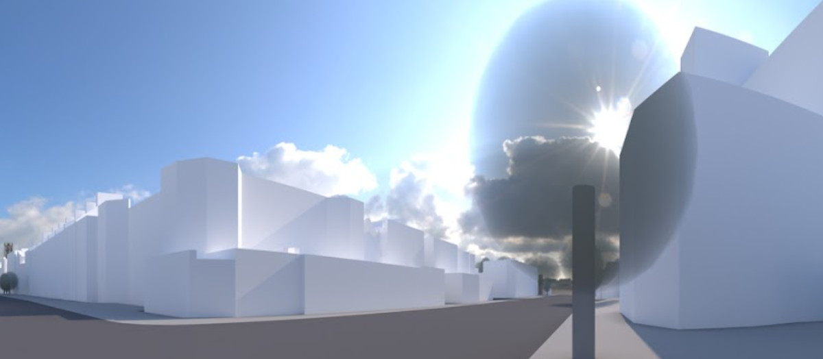
Urban Light Pollution Assessment Study
The Environmental Protection Act identifies light pollution as a statutory nuisance and 3D models can be used in Light Pollution Assessment as required by the London Plan.

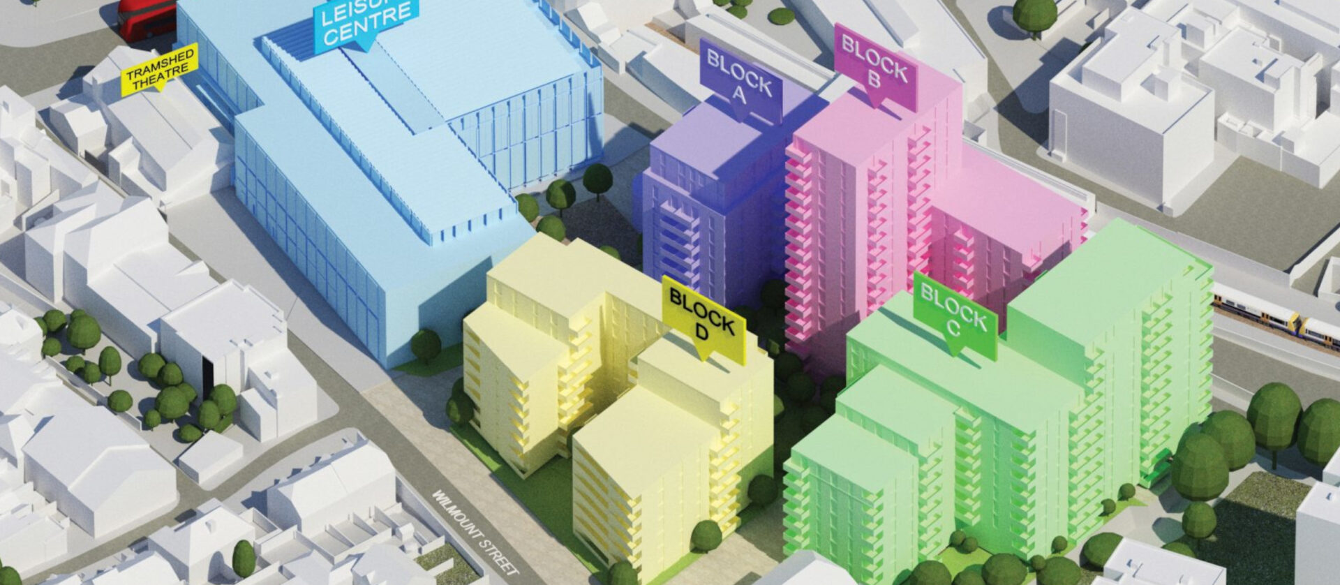
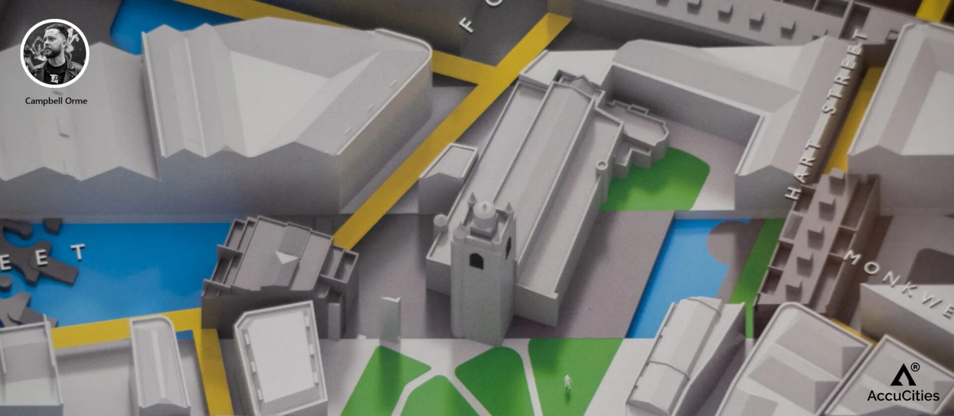
Masterplan Public Consultation Boards
Initial concepts to provide guidance for the future development of the Hemel Hempstead Station Gateway. Developed into a Masterplan and Supplementary Planning Document.

Community Engagement Platform Planbase
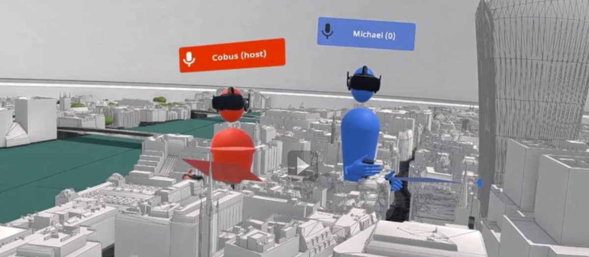
Community Engagement Platform Planbase is focused on democratising the planning process using Visual Consultations – public engagements using 3D Models instead of 2D maps.

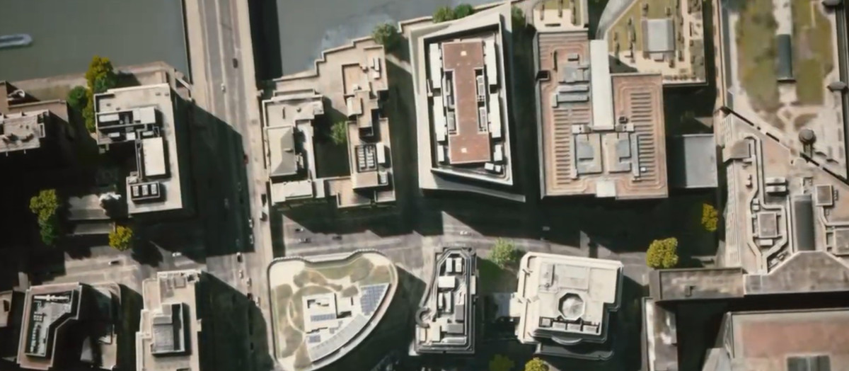
Site Access, Scaffolding & Cranes Locations
BAM Construction is one of the largest contractors in Europe and one of the longest established in the UK. They use 3D context models as part of a competitive tender process.

Accurate Visual Representations for Planning
Combining photography, 3d modelling and surveys, Verified Views are specialist photomontages that provide an accurate representation of a proposed development.

Party Wall & Neighbourly Matters Advice
Pre-planning stage advice on the strategic approach for dealing with neighbouring properties and rights of access with respect to crane oversail or scaffold access agreements.

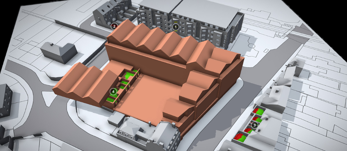
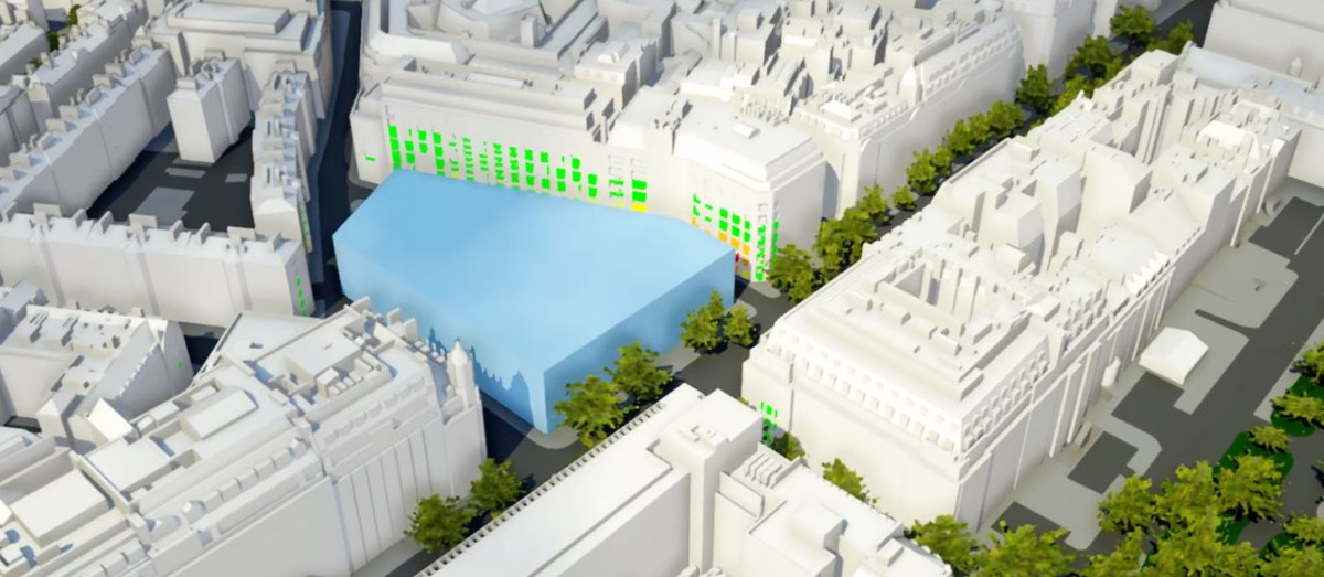
Massing Options Impact Daylight Study
Studies using 3D models used with live VSC calculator to assess the daylight impact of different massing options, in combination with VSC façade mapping tool.

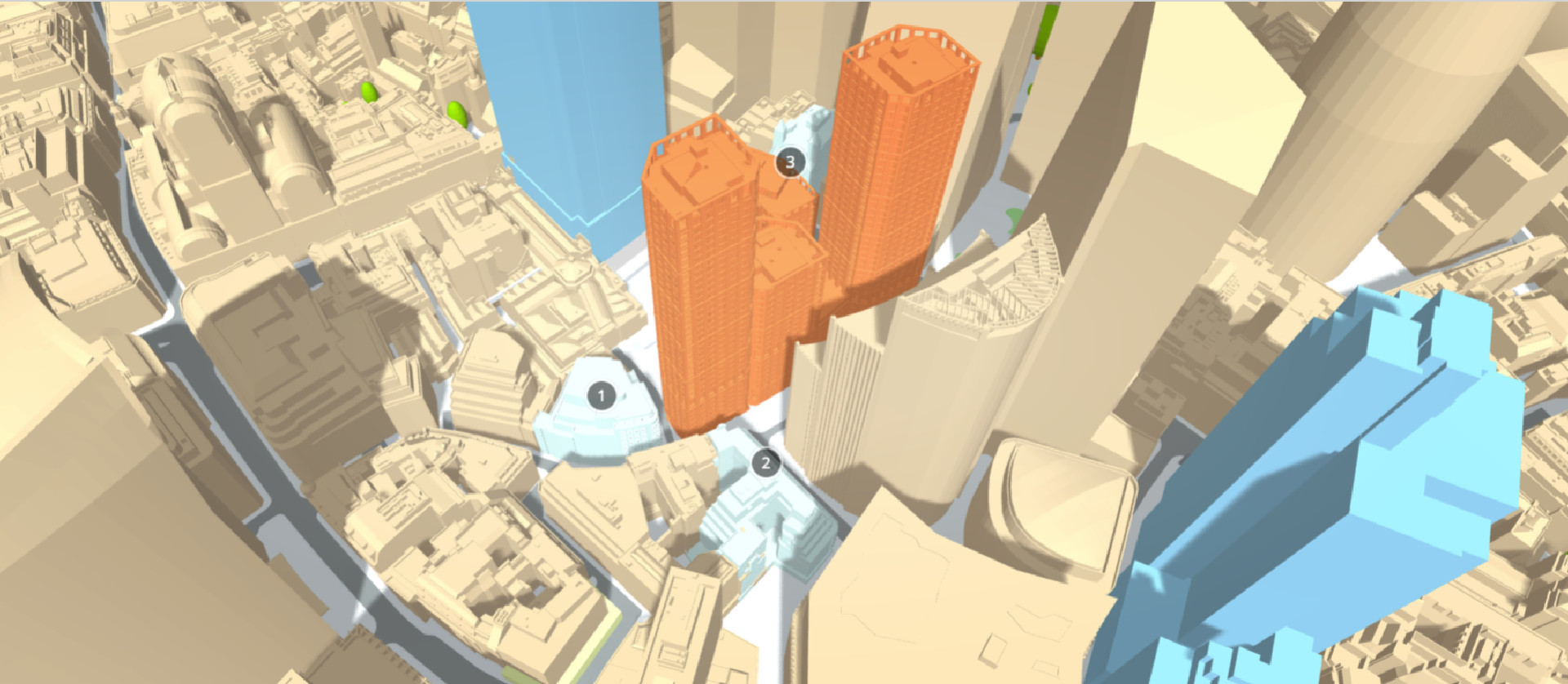
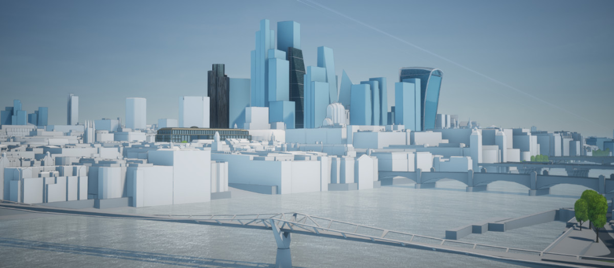
Zone of Visual Influence Early Stage Study
To understand the potential visibility of a proposed development, 3D city models facilitate rapid early-stage, cost-effective decision-making processes.

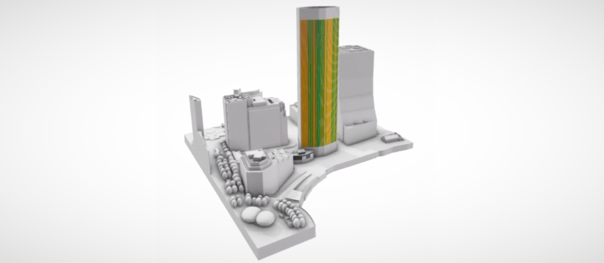
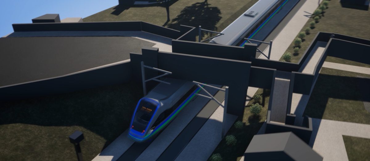
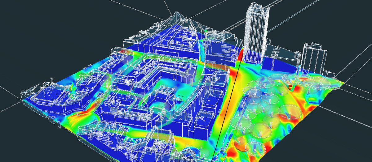
Advanced Reflected Solar Glare Studies
For properties that can affect Network Rail, Advanced Reflected Solar Glare Studies analyse the sun’s reflections of a proposed development from a train driver’s point of view.

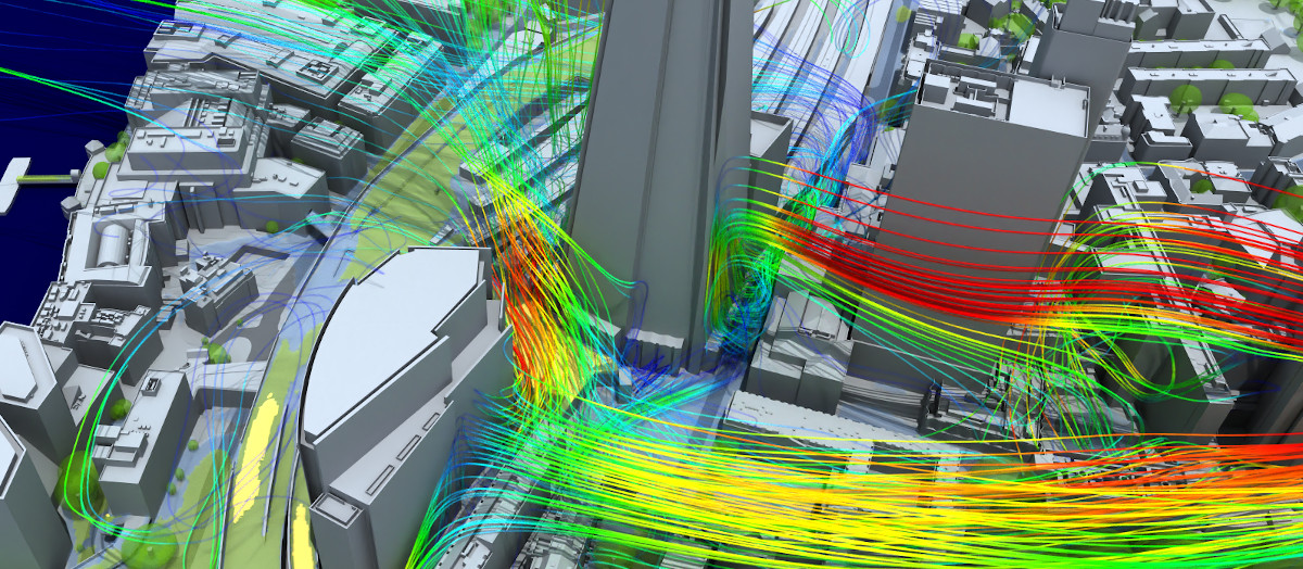
Pedestrian Wind Comfort Simulations
SimScale helps engineers and architects planning new developments in London. The platform enables them to quickly assess pedestrian wind comfort and safety.
