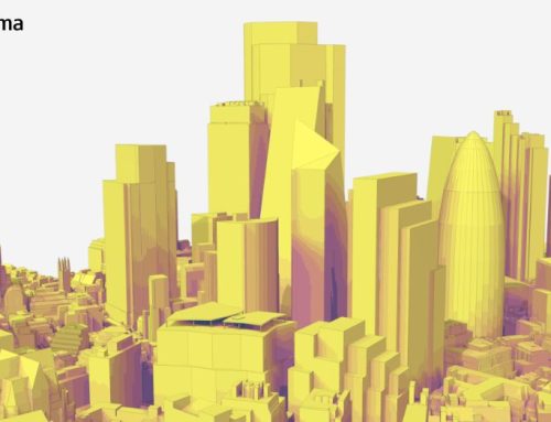
ESRI ArcGIS allows us to create webscenes to view our 3D Model of London online. AccuCities city models have been designed from day one to be platform neutral. Our customers usually require 3D data in Cad, Max, C4D or SketchUp formats, but often they just want to analyse the dataset. ArcGIS is a platform to create, manage, analyze & share spatial data. Using AccuCities 3D London in ArcGIS means that its smart, data-driven styles and intuitive analysis tools can deliver valuable location intelligence.
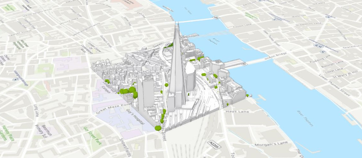
Dominic Saunders from ESRI UK imported our Free 3D London Sample into four scenes.


Free 3D Models of London in ArcGIS
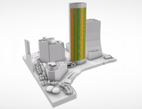
Scene 3 has our Level 3 sample and Scene 4 our Level 2 models. These scenes are most likely the ones you want to use when exploring the potential of ArcGIS toolset. Measure distances, slice entire model or only its layers or run a shadow analyses for any time of any day of the year.


ArcGIS is an excellent platform to analyse 3D city model data. Using AccuCities 3D London in ArcGIS offers great analysis tools, able to deliver valuable planning intelligence.
Need CAD, FBX or SKP files? Download our Free 3D London Samples, buy 3D London Tiles or send us a Quote Request for a Custom 3D Context model – available anywhere in the UK.