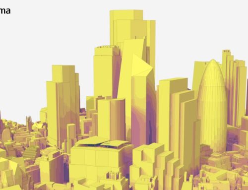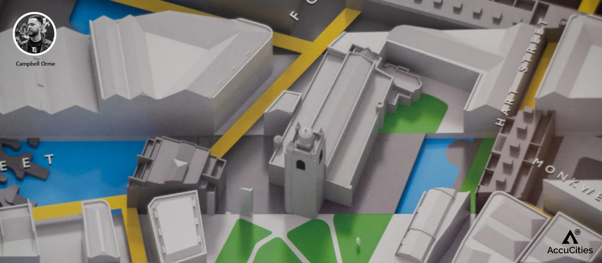
The Covid-19 lock-down gave many people time to create exceptional personal projects – the Barbican London Temporal Pedestrian Map is certainly one of them. Created by Campbell Orme, these unique maps of Barbican, London are made from alternating slices of maps, illustrating the massing and roads between 1890 and 2021. East and West view has been produced and printed.
The map invites people to peer in and trace the C19th roads as they thread through lost buildings and corners, to the towers around us today. AccuCities customers placing an order in November 2021 will receive prints of both views as a free gift.
About the project
The Barbican estate and its surrounding area represent the heart of old London. Layers of history, lives and conversation lie under concrete and glass; new roads follow old forgotten tracks and pathways. Between 1940-1941, this landscape was altered immeasurably, as a result of The Blitz.
“I’m fascinated by the area, so when lockdown kicked in, this felt like an opportune (if necessary) time to stay busy and make something,” says Campbell. “Each print presents alternating slices of the map from prior to that time, around 1891, and today, 2021, as a projection of liminal space looking across this part of London, the ward of Cripplegate. Both of these maps were made using data derived from Ordnance Survey and AccuCities® 3D Model of London and all sale profits are going to the folks over at mind.org.uk“


Creating temporal maps with AccuCities data
AccuCities offers discounts and sponsorships for 3D city models used in art, student and non-profit projects. Because Campbell intends to donate the proceeds to the mental health charity Mind, we were very happy to supply the 3D model for the project for free.
“When Campbell came to us with the outline of the project, we had only a fuzzy idea what he wants to create – but this is almost always the case with art projects,” admits Rachel, AccuCities Operations Manager. “Campbell took the project very seriously and with incredible attention to detail, that’s probably when I realised that this is in fact a mapping project. I think the results are really spectacular – a descriptive map in three dimensions and, unusually for maps, time dimension. Now, this is fairly difficult to pull off using a 2D paper map, and not just for the author to illustrate but for the viewer to comprehend as well. It is a map you have to try to understand, but once you do, it illustrates the amount of change very very well.”

Free Gift – Art prints for AccuCities customers
Members of the public can buy these prints online, either individually or both (with a discount), whilst stocks last. For our customers, we have placed an order to send both prints of this limited-edition, numbered & signed art print to every customer placing an order for our products or services in October 2021. If you are eligible we will ask you for the preferred address and will be sending both prints (East and West view). To keep with the charity fundraising theme of the project, we have also made a £500 donation to the charity Mind.
“Mental health is fragile and 1 in 5 of us will be affected at some point in our lives,” says Michal from AccuCities. “As the dire impact of coronavirus on our mental health becomes clear, it is clear that mental health charities like Mind have an uphill struggle ahead of them. This project has drawn our attention to this issue and I am really pleased that we can support their work.”
As this is not a standard map; it took us on average 3-5 minutes to start to understand what we are looking at. The understanding increases the more you are looking at it, making it just a perfect poster for an office of a London / Architecture / Mapping / Urban planning geek. And let’s be honest – if you are reading this, you are firmly in one of those categories. And you are awesome.