Daylight Planning LTD provides both qualitative and quantitative technical support for use in applications, appeals and negotiations relating to planning and common law issues for architectural design and construction. Working with many local authorities, over the years the company helped to ensure recommended standards for daylight and sunlight are achieved and impacts are minimal for the surrounding buildings.
Interactive Explainer: Daylight Planning
AccuCities have provided 3D planning models for a number of Daylight Planning LTD projects. We appreciate that it is not easy to explain how 3D models are used in planning and welcome this interactive explainer.
“This interactive model was created to show some of the analytic services we can offer for development site planning.” says Christopher Beck, Director at Daylight Planning LTD. “I have been involved with numerous high profile developments up and down the UK and it always surprise me how little is known about these studies for planning. Let us know what you think of this interactive explanation of the work we conduct. And as it is on Sketchfab it also works in AR!”
3D Models for Planning Studies & Analysis
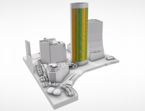
AccuCities 3D models of as-built environments are an industry standard for planning studies and analysis. Manually captured from the latest aerial survey, AccuCities 3D Models can be captured for a site anywhere in the UK with 15 cm accuracy.
“Photogrammetry is the science of making measurements from photographs. It is a photography with a purpose – to accurately measure from it.” says Sandor Petroczi, AccuCities Director. “We use stereo photogrammetry using latest high-resolution aerial imagery to capture our 3D Models. The aerial imagery collection is done using fixed-wing aircraft. As the aerial mapping plane flies over a city area, it takes series of photographs which overlap by 60%. With each photograph its GPS position, height, tilt, pitch and roll are recorded. Using this data + camera calibration data (to eliminate lens distortion effects), the imagery is triangulated to its correct real-world coordinates. In areas where two images overlap, we project one image into one eye, the second image into another eye and and this way we are able to capture the Z mapping coordinate. Using this technique we manually capture every point in the z map.”
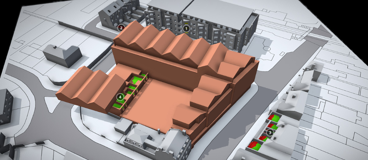
Georeferenced CAD models in DGW format overlay OS planning maps and can be used for Daylight, Sunlight & BRE, Overshadowing & Solar Glare, EIA Chapters, Envelope studies, Rights of Light, Cutback & profit share, Feasibility Studies, Verified Views and many other planning purposes. More Customer Case Studies.